Live Rogers Pass webcams
View all →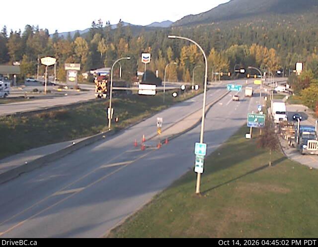
Revelstoke
Highway 1 at the east end of the Columbia River Bridge in Revelstoke, looking east.
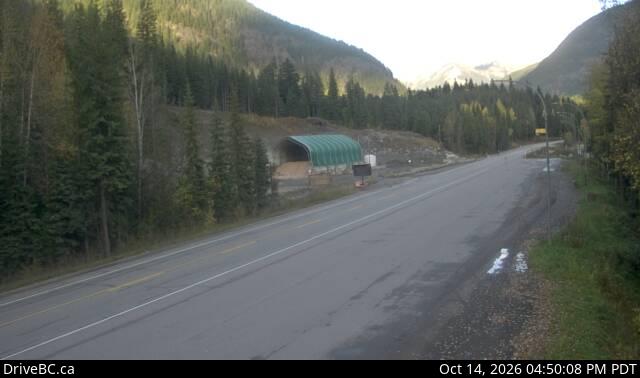
Albert Canyon
Highway 1 about 30 km east of Revelstoke — western approach to Rogers Pass.
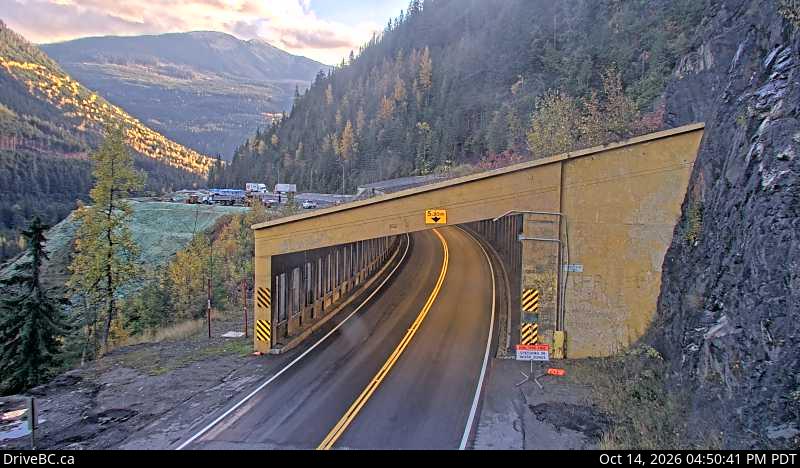
Jack MacDonald Snowshed — West
Highway 1 about 46 km east of Revelstoke at the Jack MacDonald snowshed, looking west.
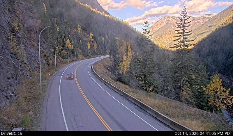
Jack MacDonald Snowshed — East
Highway 1 about 46 km east of Revelstoke at the Jack MacDonald snowshed, looking east.
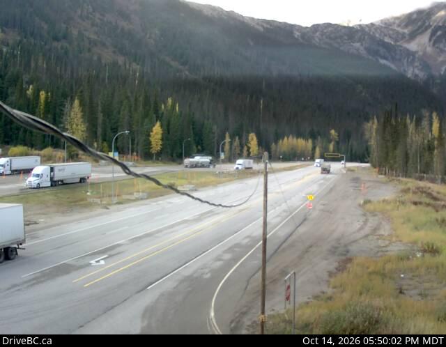
Rogers Pass Summit
Highway 1 at the Rogers Pass Summit in Glacier National Park — highest point on the Trans-Canada.
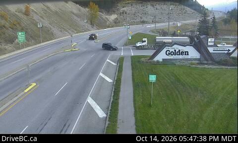
Golden — Eastbound
Highway 1 at the Highway 95 interchange in Golden, looking east along Hwy 1.
Is Rogers Pass Open? — Live Highway 1 Conditions, Webcams & Weather
Live road conditions for Rogers Pass on Highway 1 (Trans-Canada) through Glacier National Park between Revelstoke and Golden. Official DriveBC data refreshed every 5 minutes, plus webcams and Environment Canada weather.
Rogers Pass weather
Environment Canada →Current conditions and forecast for Rogers Pass Summit (elev. ~1,330 m) in Glacier National Park.
Loading current conditions…
Weather via Open-Meteo (public forecast API) keyed on Rogers Pass summit coordinates. Environment Canada's citypage XML feed for the corridor is currently unavailable. Snow at the summit can differ sharply from Revelstoke or Golden — check the Summit webcam alongside the forecast.
Free alerts the moment Rogers Pass closes
FreeFree, year-round closure alerts — no account, no password, unsubscribe anytime.
Push alerts on this device
Instant notification even when the tab is closed.
All active incidents (8)
Driver reports
No driver reports yet. Official DriveBC data is the source of truth above.